Tahoe, Lake
19 July 2017
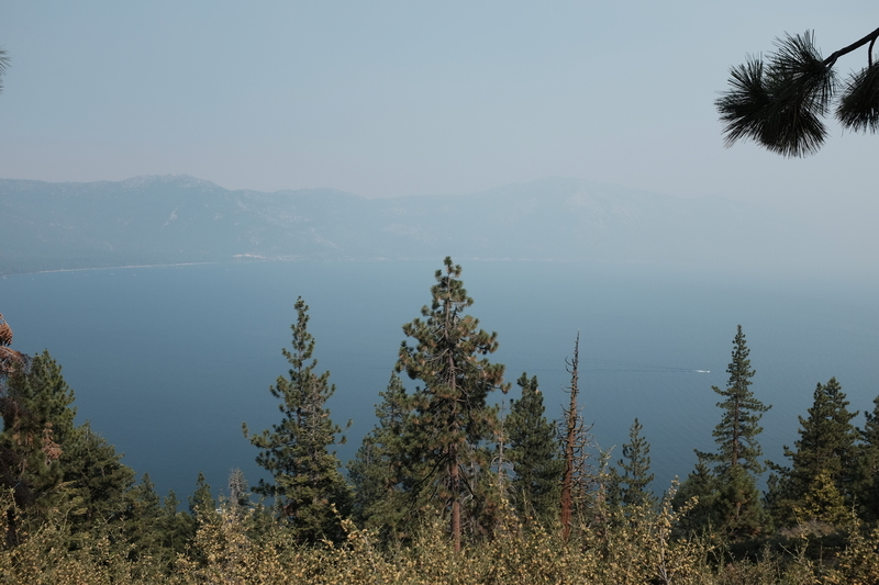
After having stared at classic vehicles for a few hours, we decided to go to nearby Lake Tahoe to sort of squint at it. Because wildfires in the area was making the skies quite smokey.
During winter, this area - and I use that term very generously, and vaguely - saw a lot of rain. Rain means plant growth. And plant growth means fuel for the fire during the summer. And thus, forest fires are cropping up all over the Western United States and Canada.
Indeed, after I left British Columbia, I kept hearing on the radio how the forest fires were picking up, and basically all the areas I had driven around there were now going up in flames. As if I had left some sort of hellish scorched earth in my tracks. Full transparency, my car has Michelin and Goodyear tyres on front and rear wheels, respectively.
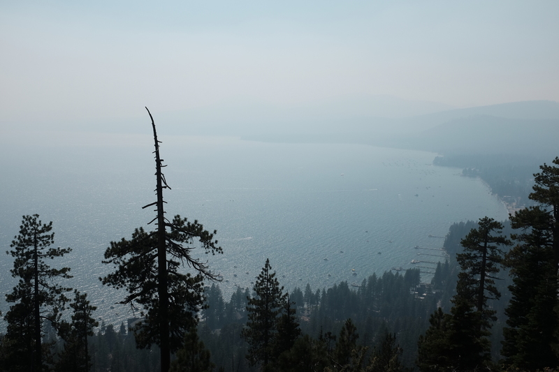
So far, I have not seen an actual forest fire, as I have tried to avoid them. But the smoke is real. And I did not get a good look at Lake Tahoe. I hear it is pretty. I will have to take their word for it.
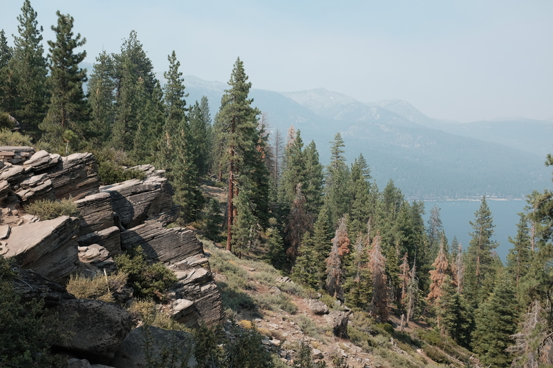
Looking over at Crystal Bay, from California. I think, the state border is not an exact one around here.
Speaking of things I will have to take their word for; the California-Nevada state border. As the settlers and whatnot made their way out into the West, the rolled out big pieces of paper, where upon geographical landmarks were drawn. And looking upon this paper - which was sometimes described as a 'map' - the powers that were, decided to draw some fine straight lines around the Western territories.
I mean, why spend money on having survers go out and check what the local topographical situation is like when you can just draw easy to draw lines on a piece of paper (i.e. map)? Only problem is that at some point someone will have to actually survey that line, which may cut through some rather difficult to cross terrain. Such as Lake Tahoe. Unless you have a boat.
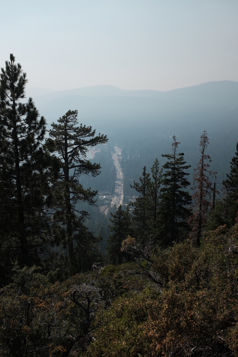
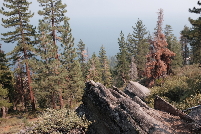
A road cutting through the forest by Lake Tahoe. This time definitely in California. You can tell by the lack of casinos.
So California send such an expedition out to clarify the border, and lo and behold, they managed to survey the border 800 metres to east. Effectively giving California more land. So some buildings were built near the border, thinking they were in California, but then it turned out they were in Nevada.
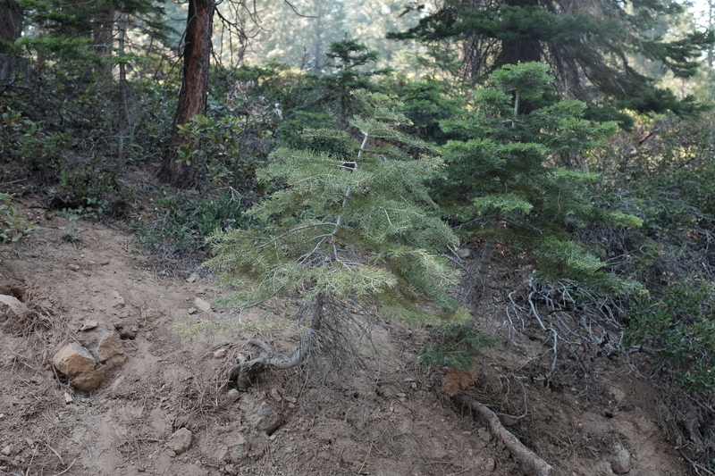
The forest around here is quite young, since it was cut down to build the mines in nearby Virginia City.
At least in Europe, we settle border disputes the old fashioned way that people can agree on.
